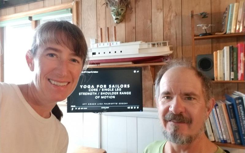
With a gale and more than an inch of rain in the forecast, today seemed like a great time to break out one of those alternative Century Club activities. I chose doing an online sailing workout. I really enjoy yoga, so I searched for a practice that was sailing-oriented. That's how I found Yoga for Sailors, from Lisa Palmiotto Cecchi of Sailing Performance Training. When I read her bio on the SPT website - past collegiate swimmer at West Point, marathon runner - perhaps I should have gleaned that this was going to be a WORK-out. Lisa has put together an excellent flow yoga practice that pushes the limits of a novice (without exceeding them) and definitely worked those muscles I use in sailing. I liked that she incorporated "extras" for more experienced practitioners, but I never felt left out of the game - I just held the starting pose a bit longer and watched her do what someday I hope to be able to achieve. Thank you SpinSheet for this GREAT suggestion! I tingled with relaxed energy the rest of the day.
Century Club: Suzanne Fryberger
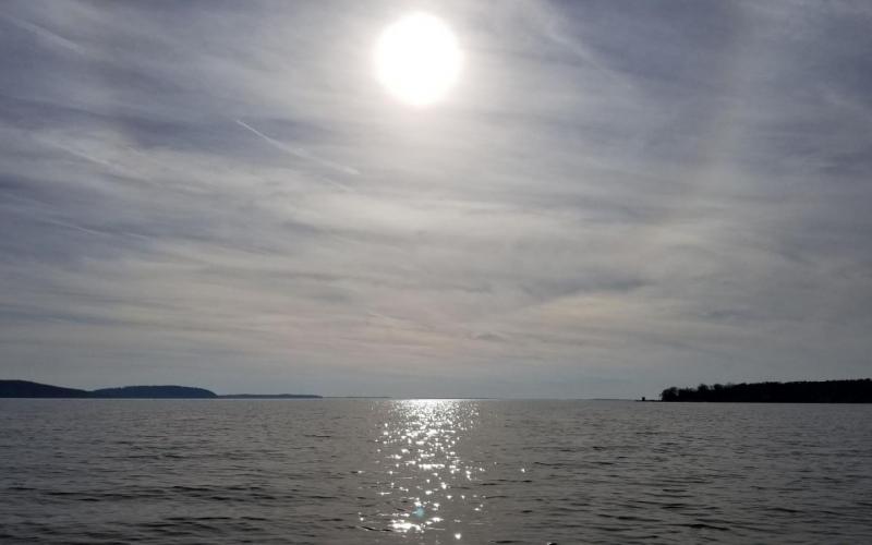
46 degrees, sunny, wind southwest 5-10
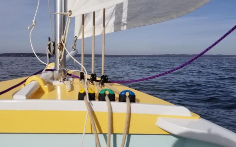
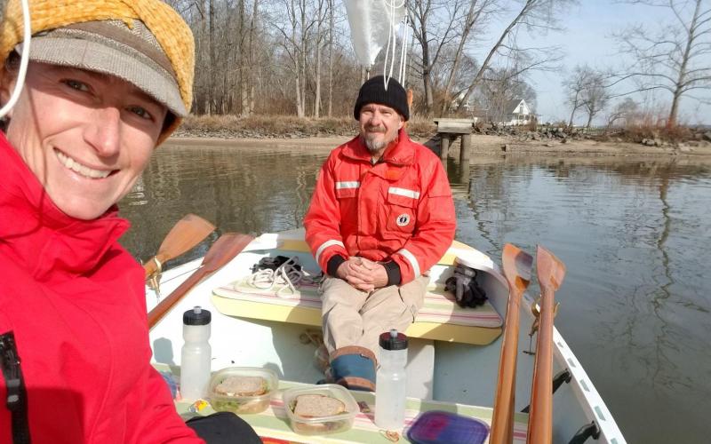
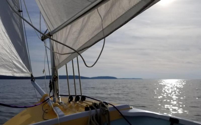
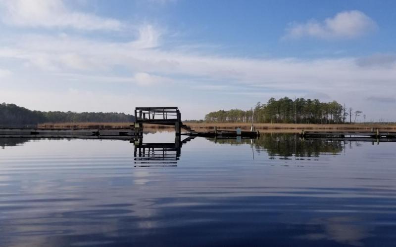
Today seemed perfect (for December) conditions for a sail to one of Dobbs and my favorite lunch spots - an abandoned marina basin we refer to as "Walden Pond" (we're Walden Rigging, and it's where we go for lunch...). It's about 2.5nm as the crow flies northwest from Red Point Beach.
The sail over, once we surmounted the challenge of a low-tide launch at the boat ramp, was an easy broad reach. We anchored and enjoyed a quiet lunch. I eat the same sandwich - turkey, provolone, onions, red peppers, lettuce, oregano, and mayo on sourdough rye - just about every day, and yet this one - I SWEAR - was the best. That's boat hunger for you - it's transformative!
Sailing home took some doing - a beat to windward against a flood tide. We made it back by 3pm, frosted but happy.
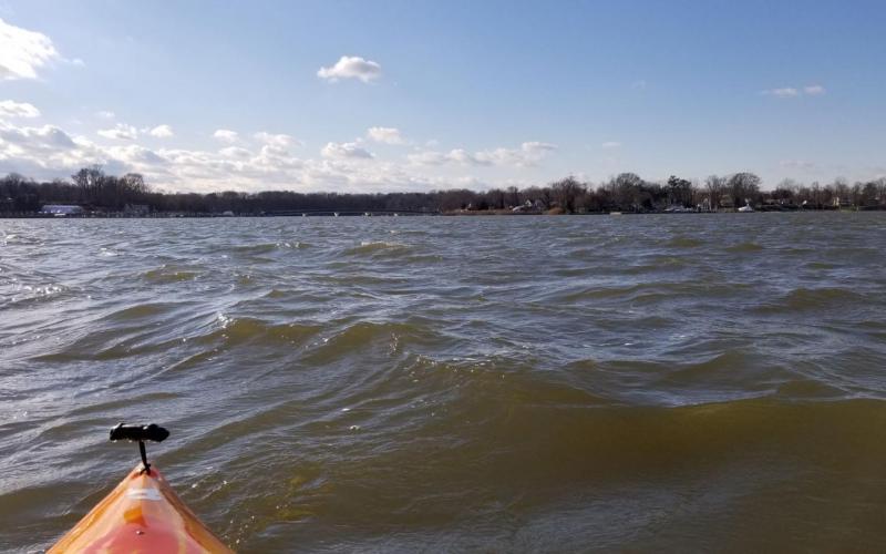
46 degrees, wind northwest 10-20 with gusts to 30, partly sunny
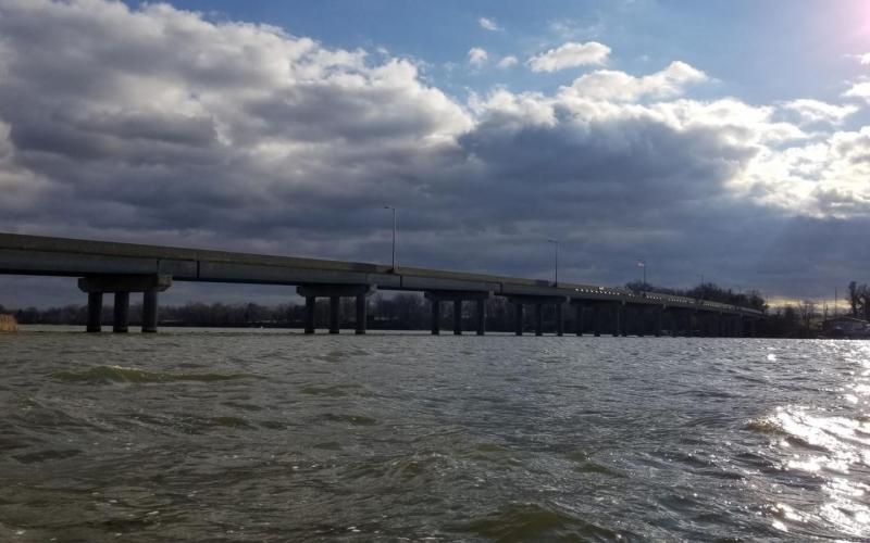
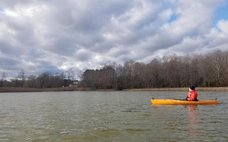
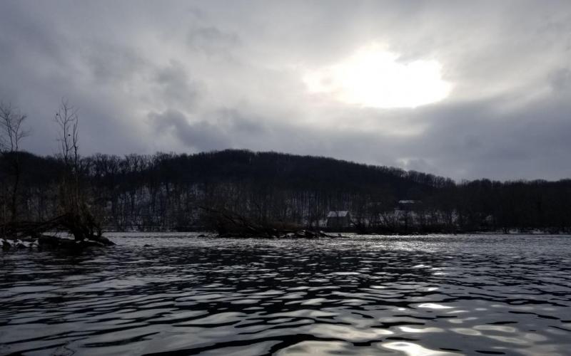
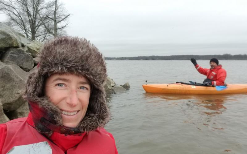
As cold air from the north battled it out with warmer air from the south, thick puffy clouds in bright whites and brooding grays swirled overhead. Dobbs and I put in at the kayak launch at the Route 213 bridge and paddled across the choppy Bohemia River to Scotchman's Creek.
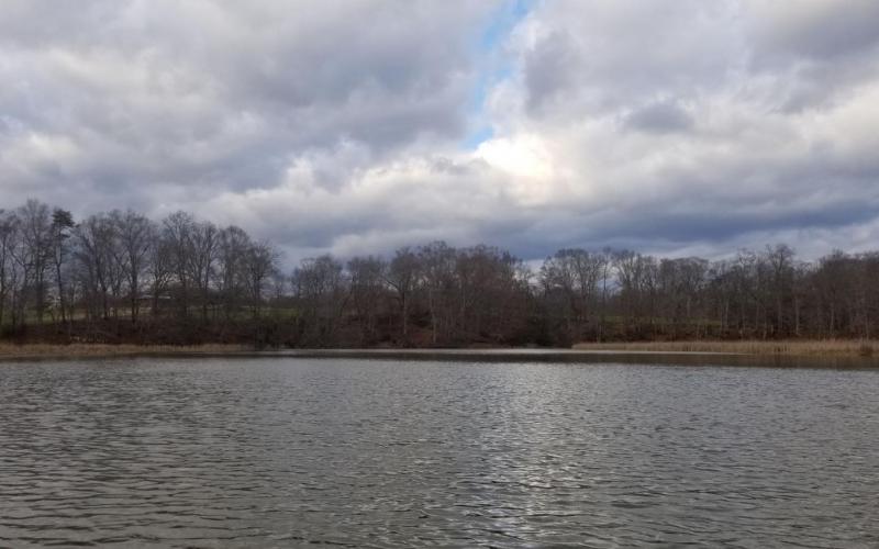
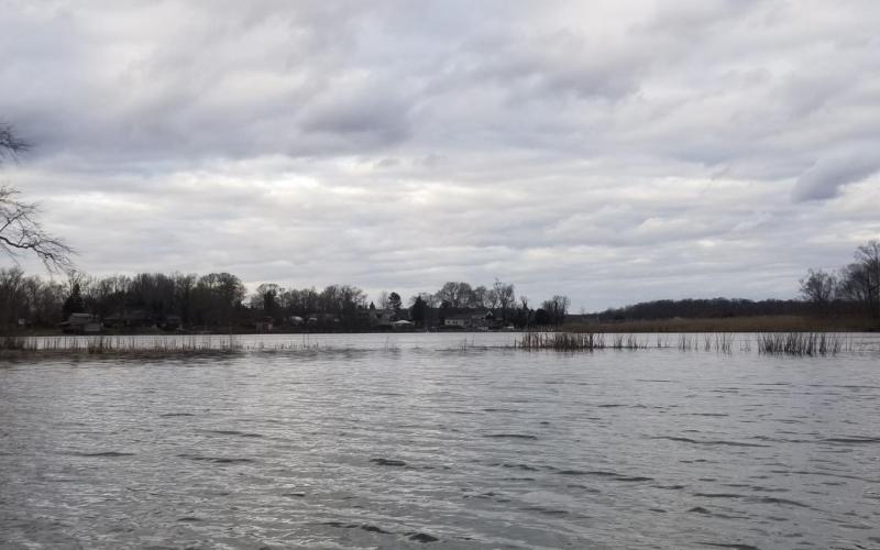
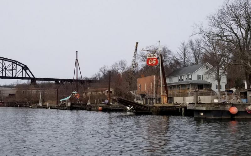
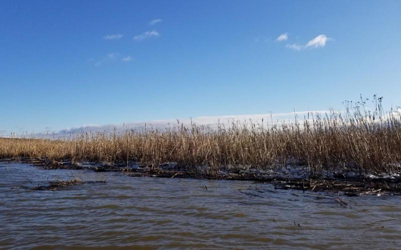
The shores of the creek, after a collection of modest homes and the marina right at the Glebe Road bridge, for the most part return to nature. Low-lying marsh transitions to elevated woodland and then back again as the creek meanders south. We saw some mergansers (red-breasted, most likely), golden eyes, and, of course, mallards. From a hillside pasture came the mooing of a cow, carried on the wind. Satisfied with our exploration and not wanting to push the limits on the Gale Warning, we paddled back across the river to the park.
45 degrees, partly sunny
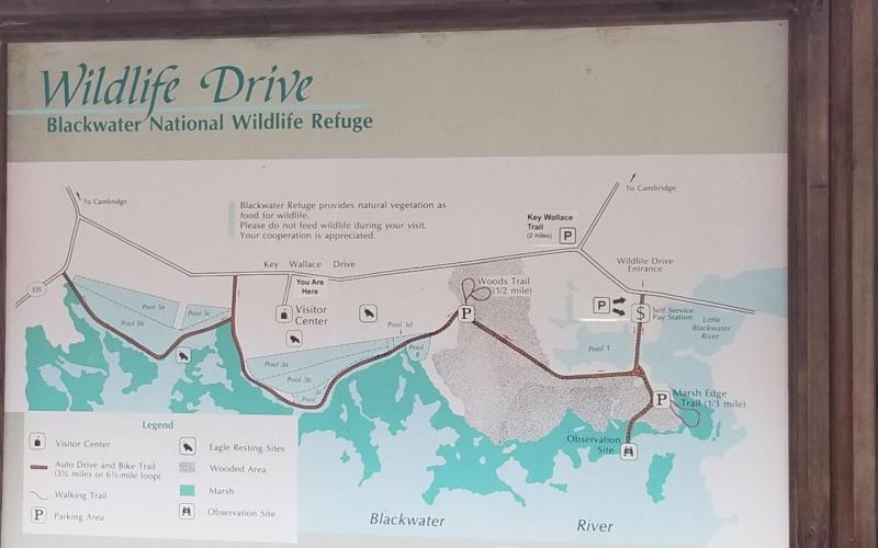
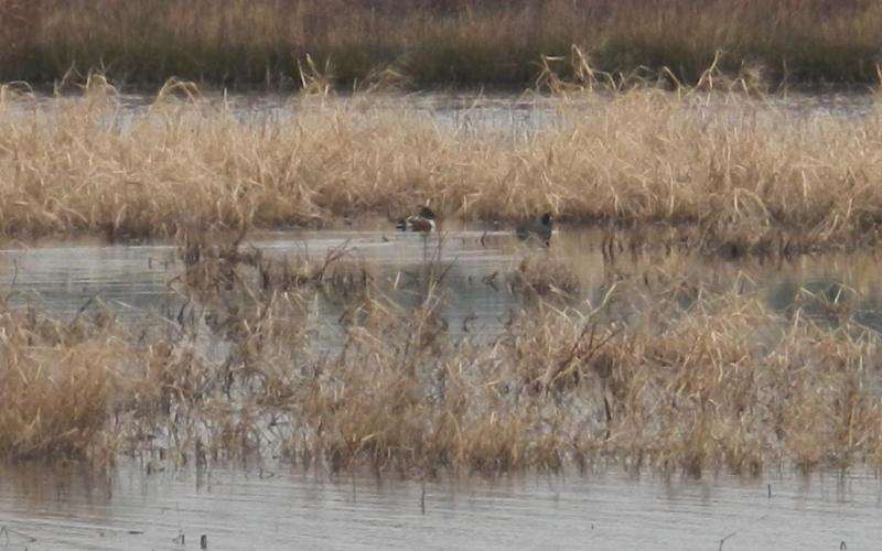
It's a long drive to go for a paddle, but I'd wanted to visit Blackwater ever since I read about it in Spin Sheet. Their brochure boasts 20+ species of ducks and I was eager to see something new - perhaps the canvasback that has eluded me for years. The refuge is southwest of Cambridge, almost to Hoopers Island. Dobbs and I left North East in fog that stayed around for two-thirds of our journey and then dissipated into a distant haze. We learned that Governor Hogan had ordered all state businesses closed for the next two weeks as a response to the dramatically upward trend in COVID-19 cases since Thanksgiving. The Visitors Center was closed, but they'd thoughtfully stationed port-a-potties nearby.
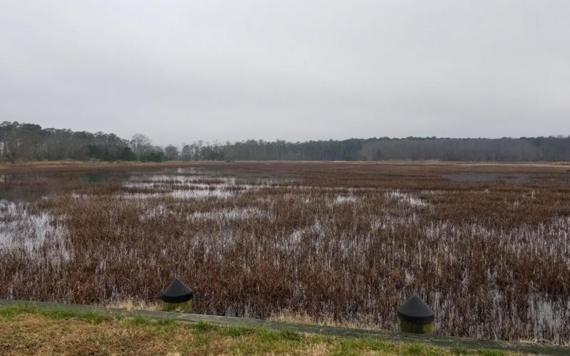
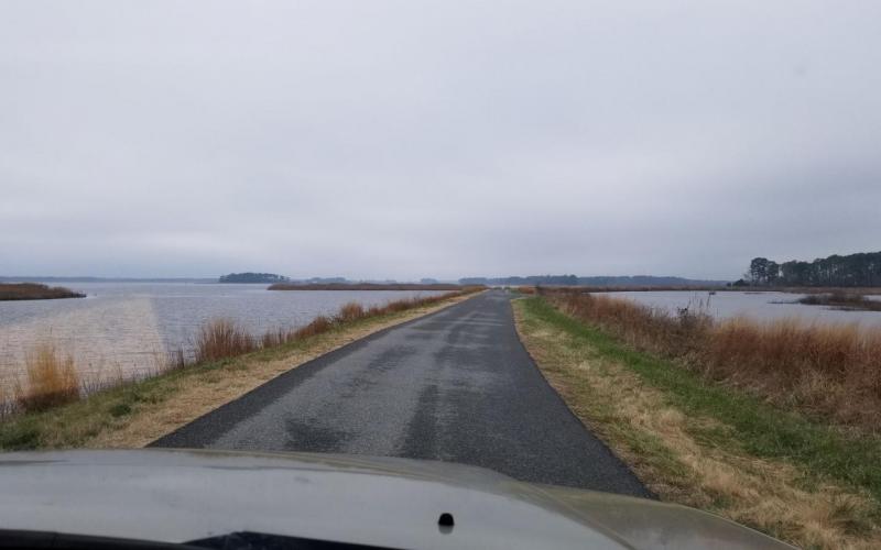
We started our tour at the Wildlife Drive entrance and paid the $3 fee at a self-service kiosk. Reading from the brochure: "The Wildlife Drive is a 4-1/2 mile paved road that winds along freshwater ponds, through woods, past fields, and adjacent to marshes." Basically you're driving on a dike that separates a man-made and managed freshwater wetland from the brackish waters of the Blackwater River. We saw huge flocks of Canada geese and groups of tundra swans, mallards, pintails, and shovelers; also plenty of eagles and herons, as well as muskrat lodges. The view out over an open expanse of marsh - miles of it - punctuated sparsely by copses of pine, is breath-taking. Perhaps breath-giving is a more appropriate description. As I gazed, my mind quieted, lost in the mist, and my breathing slowed.
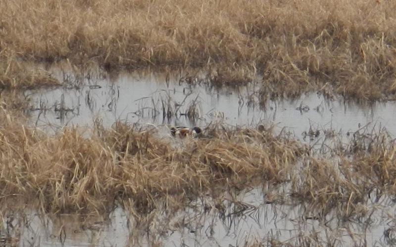
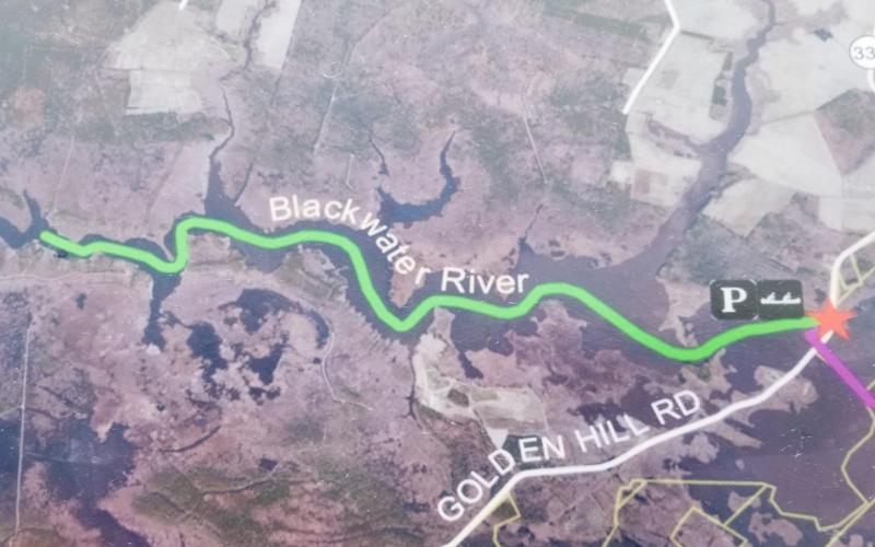
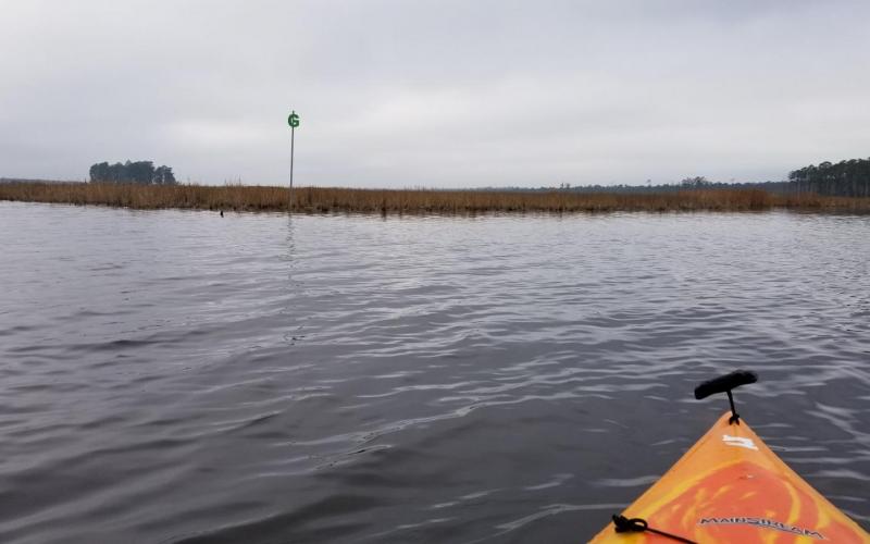
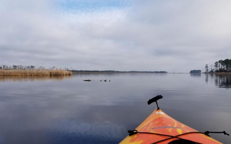
From the end of Wildlife Drive, the kayak launch for the Green Trail is just a short distance south. We parked and ate lunch. By 12:30pm, we were paddling west on the Blackwater River, following the Green Trail through the marsh. A pair of eagles surveyed us carefully. Early on, we spotted a ruddy duck pair. Occasionally, a turtle would surface near us and watch us watching it. Unfortunately for us birdwatchers, over the next 8 miles (4 each way), we saw no other ducks. At all. Nada. We contented ourselves with appreciating the landscape which was, by then, dappled with warm sunshine.
Blackwater is VAST. What we paddled is a fraction of the 30,000 acres encompassing the park, much of which is truly refuge and off-limits to humans.
41 degrees, mostly cloudy, wind southwest at 5-10 knots
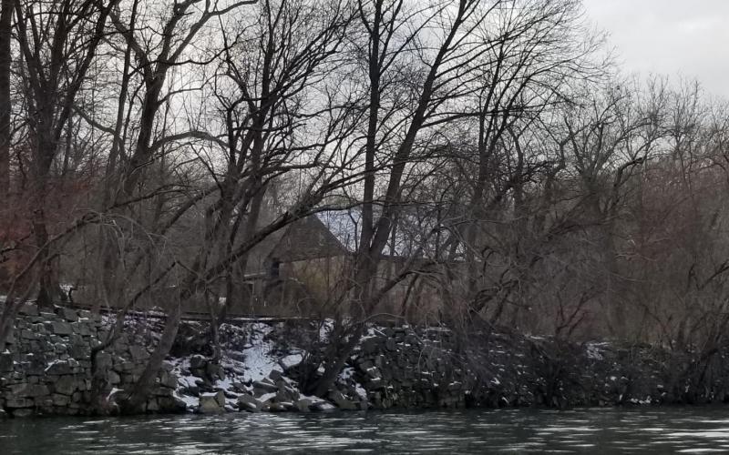
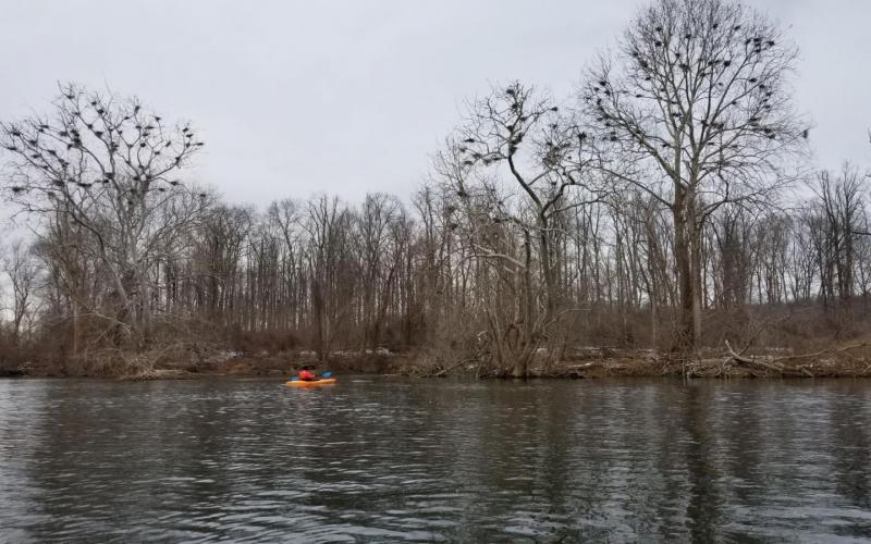
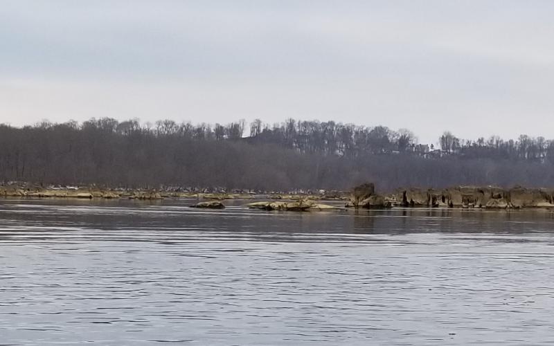
Dobbs and I launched our kayaks at Lapidum Landing and paddled north to the islands adjacent to Rock Run Gristmill. The water clarity was fantastic! We circled Snake Island and then followed the mill shore line until we were even with the ruins of the Rock Run Toll Bridge - the earliest bridge crossing (1818) of the Susquehanna River below Columbia, PA. The bridge consisted of eighteen 200' trussed arch wooden spans. By 1857, the bridge was mostly destroyed and today only the crumbling stone pilings and abutments remain. We inspected each of the eight pilings on the western side of the river and then paddled around the northern tip of Wood Island. In between Wood and Robert Islands, we noted two trees that were filled with bird nests. Later, I learned that these are likely heron nests - a heron colony - which explains the great number of herons we saw about. Continuing south, we passed the abutments for the trusses spanning the gap between the islands and a single bridge piling.
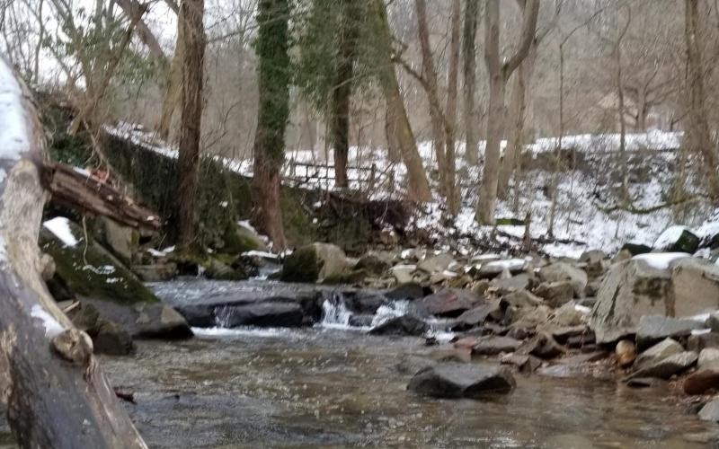
We turned north at the tip of Robert Island and paddled up to the line of piling ruins extending east toward Port Deposit. We kept going upriver in order to wend through the "rock garden" north of Robert Island. Then, we bore off south, passing Deer Creek and heading for Rock Run. We poked into the stream a short ways, admiring multi-colored granite and crystal clear water en route to a gurgling waterfall.
On the way back to the boat ramp, we dog-legged east around Spencer Island for a better view of the pastel-hued sunset sky above the towering hillside.
35 degrees, partly sunny, winds light & variable
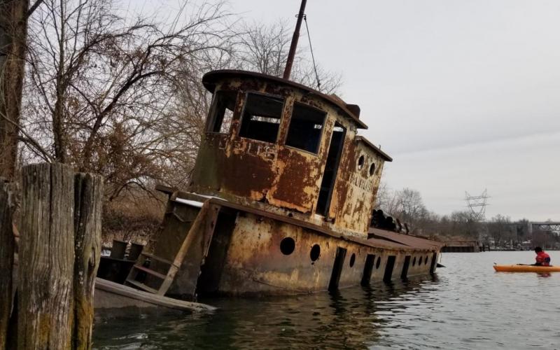
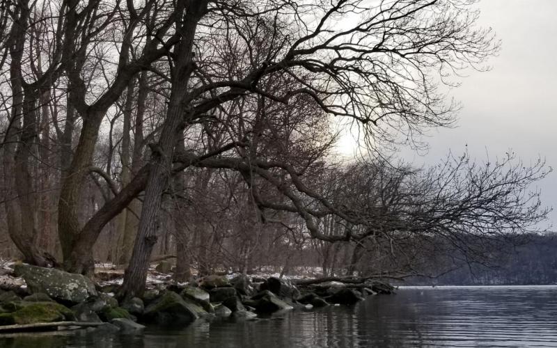
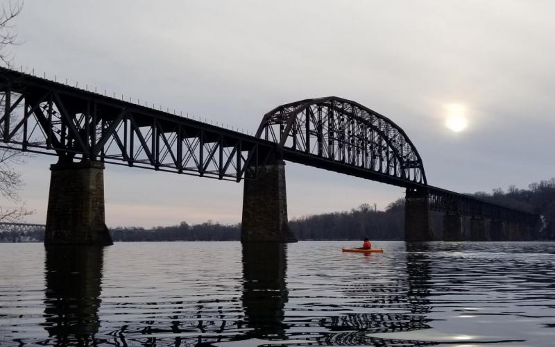
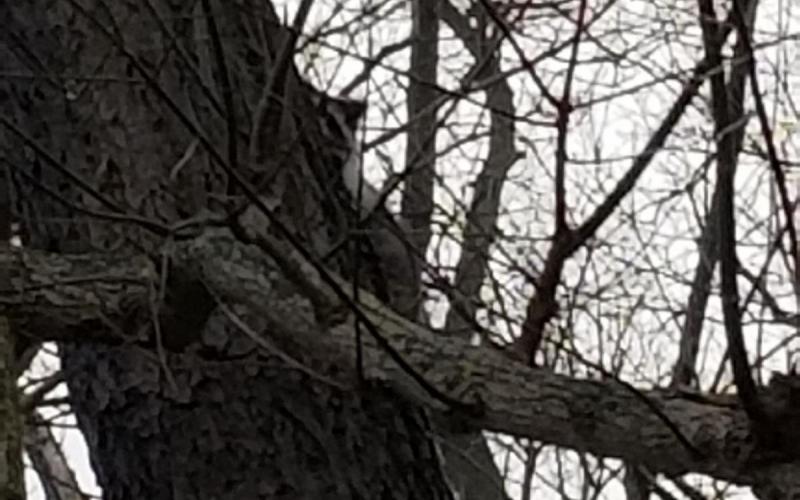
Dobbs and I launched our kayaks at the Perryville Boat Ramp and paddled around Garrett Island, north to south, checking out our favorite landmarks: the dredge teetering on the bank, the old tug Taurus slowly disintegrating, the submerged keel and twin engines of a boat otherwise carried away by the river, the freight train bridge, the ancient volcano, and the single remaining wall of an old stone building. The terrain of the island is striking, and the remaining snow accentuated it. We saw deer - 5-7 overall - along the west side and then, at the southern tip, we came upon some raccoons. One climbed a tree and eyed us warily. From there, we paddled straight back across, under the Route 40 bridge, to the boat ramp.
34 degrees, wind NW 10-15, sunny
Dobbs and I launched at Elk River Landing and paddled south to Plum Creek and back.
We cut through the marsh off Scotland Point and bypassed gunkholing a couple small coves and creeks in order to go straight to Plum Creek, the longest and most interesting-looking (at least from satellite imagery) of the lot. Exploring Plum Creek, we made it as far as the bend beyond the Oldfield Point Road bridge before it was time to turn back. This time of year, when the sun sets it gets cold fast! We want to go back another day and explore more of the upper parts of the creek, though we'll need to find a closer launch spot - it's already about 2 miles from the park to the bridge one-way. Winter kayaking presents more physical challenges than paddling in warm weather. It's usually not distance, but exposure time, that limits how far I go. My hands get cramped and tired from gripping the paddle through densely insulated gloves and thick rubber over-gloves. Eventually, those same extremities and my feet get cold, and then I start to feel chilled throughout. Still, I cherish every late Fall day on the water - Dobbs and I are almost always completely alone; just us and nature.
Temperature in the mid-30's, wind NW 5-10
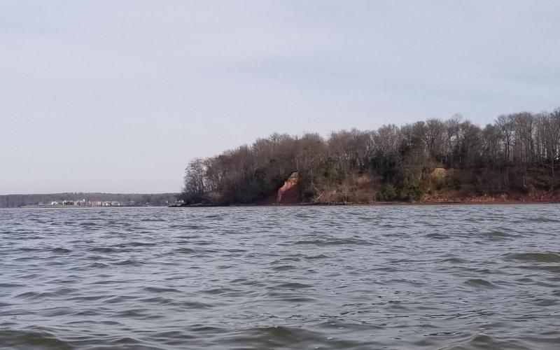
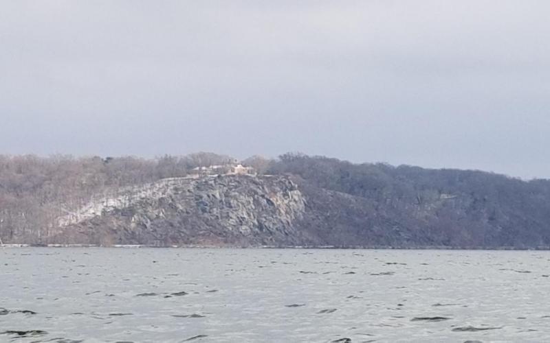
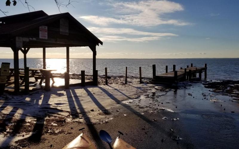
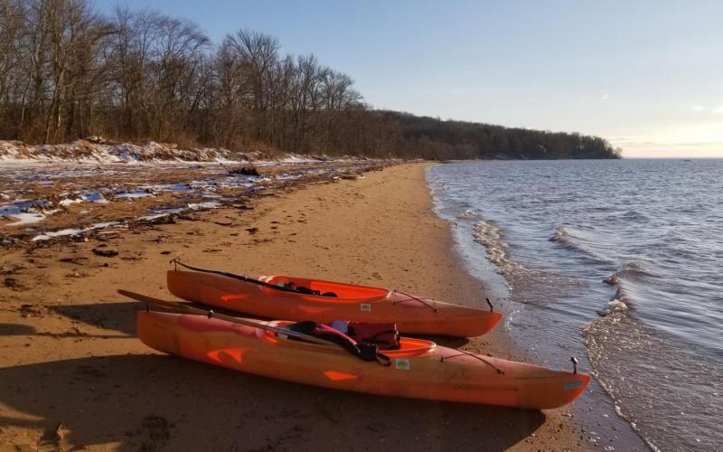
There's still a lot of ice on the roads, so Dobbs and I stayed close to home and launched our kayaks from the beach at Red Point. We paddled south along the Elk Neck shoreline, studying the cliffs. Not only are they fascinating from a geologic perspective, but the colors are stunning - burnt orange sand, clays in salmon pink, creamy white, and dusky purple, and moss a minty tint of green. The dusting of snow accentuated the details of the terrain.
Just before sunset, we turned back toward home, figuring the air temperature would drop pretty quickly once the sun dipped below the horizon. We paddled northwest - out around Red #4, gasped at the strong ebbing current, and then northeast to land at our beach.
Dobbs and I launched our kayaks at the North East Town Park around 10am in order to wrap up before noon, which was when a winter storm was slated to arrive. We paddled southeast, exploring the canals along the shore and appreciating architecture and creativity, while also marveling at the time period when these canals were allowed to be dredged.
Sure enough, as we were loading our kayaks onto the roof our our truck, snow began to fall!
34 degrees, wind NE 5-10
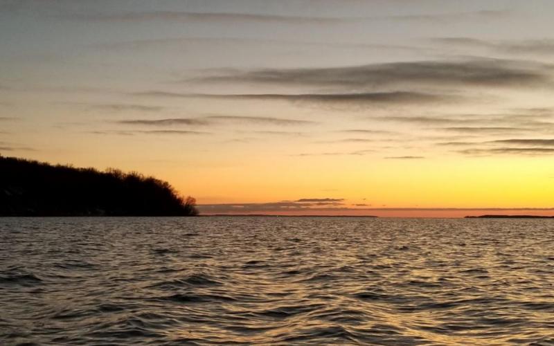
Cold outside, but snuggly in kayak. Paddled 20 minutes west toward the Flats and then back, at the end of a long day working in Middle River and then delivering sails to Annapolis. Hazy, so only a couple stars visible through the mist.
